


Polish Firefighters Test the Satellite Flood Embankment Monitoring System

SAFEDAM project consortium has finalized another real-life test programme. Between 12th and 13th June 2018, tests of the main functions of the SAFEDAM system were carried out. It all happened during a flood response exercise organized in Kępa Chwałowska, near the city of Sandomierz. SAFEDAM constitutes an innovative flood embankments monitoring system utilizing data provided by multiple sources, including photogrammetry data provided by UAVs (scans and photographs) and satellite imagery.
During the exercise, two scenarios took place, covering the potential flood threat in the area of Vistula flood embankments – in case of which the flood infrastructure was breached. SAFEDAM system made it possible to automatically estimate the water range, on the basis of the latest data provided via the European “Copernicus” Earth Observation programme. Furthermore, the software turned out to be usable to monitor the process related to securing of the embankments and was used as a communications tool, acting as a solution that visualized the spatial data collected in field, for a number of groups of participants.
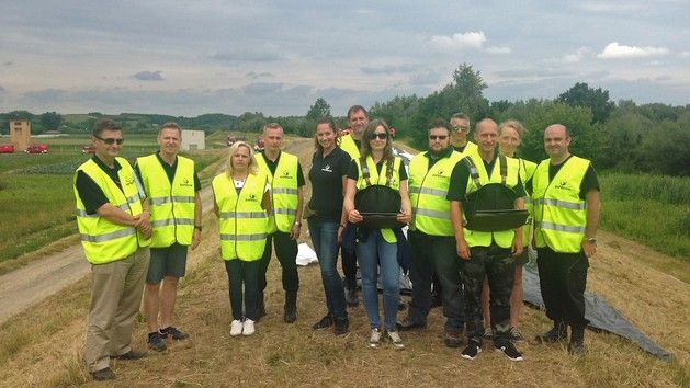
The operational activities mentioned above involved firefighters of the Sandomierz State Fire Service and local volunteer fire department members in a number of 60 persons. 30 employees of the SAFEDAM consortium also participated in the exercise. The whole operation was being observed by the representatives of the Regional Water Management Authority in Warsaw, local authorities of Sandomierz and the Municipal authorities of Dwikoza. The exercise was organized in collaboration with the State Fire Service, Voivodeship HQ in Kielce. The event was widely covered by the local media, due to the critical importance of flood protection in this region.
SAFEDAM system has met approval of the firefighters and of the crisis management authorities. Maps showing the current range of water coverage enjoyed a lot of interest. These were developed on the basis of the data provided by the Sentinel-1 SAR satellite. The exercise has proven that SAFEDAM is a tool that addresses the actual requirements of the services.
Social geoparticipation module has also been successfully tested and used throughout the course of the exercise, allowing any citizen to report the potential flood threat.
We are happy that SAFEDAM has been noticed, proving that its functions may make it much easier for the crisis management services to perform their work. The ability to work in preventative and intervention mode is a very important distinguishing feature of our system, making it very universal.
Creation of a system that would monitor flood embankments is the main objective of the SAFEDAM project. The system makes use of satellite and aerial survey data. One of the SAFEDAM’s advantages is the fact that the system integrates the existing Institute of Meteorology and Water Management and Head Office of Geodesy and Cartography databases that are complemented with optical and SAR satellite imagery and UAV-gathered data. The Sentinel constellation data may be used to automatically present the water reach. The data available free of charge may be enriched with hi-res imagery provided by commercial satellite platforms such as Pleiades or SPOT. Data visualisation is available in 2D and 3D layouts. The 3D engine of the system is derived from the proven 3D City platform designed by Astri Polska.
SAFEDAM may be operated in two configurations: prevention and intervention ones. The preventative set up would allow for assessment of flood embankment status and the level of threat. What is more, the system would also indicate the areas requiring a direct on-site verification. It will also, in a successive manner, transfer the threat data gathered in the community via a social geoparticipation application.
The intervention set-up, on the other hand, has been tailored for use in crisis management scenarios, when the flooding already took place. Its purpose is to provide support for the crisis management units and firefighters, within the scope of the activities, the goal of which would be to secure the levees. The services working on-site may use video and imagery provided by a UAV and data derived from the database. The latter portion would allow for efficient identification and securing of the areas that have been classified as high risk regions, through introduction of proper preventive means at those locations. The system would also facilitate communications among the services remaining on site and working together with the crisis management unit, through recording of the ongoing data and information on site, via the app.

SAFEDAM also offers a general-access mode, within which each and every citizen may check the level of flood threat, or check the level of water in direct neighbourhood of the location where he or she lives. All of the above would be made possible thanks to a specially prepared webpage.
The project is financed with the funds provided by the National Centre for Research and Development, within the scope of the Defence and Security programme. The project is being worked on by a consortium formed by the following entities: Faculty of Geodesy and Cartography of the Warsaw University of Technology (leader), Institute of Meteorology and Water Management, MSP Marcin Szender, Astri Polska Sp. z o.o. and The Central School of the State Fire Service in Czestochowa. Following the conclusion of the SAFEDAM project, the system would be ready for implementation and future use by the State Fire Service, Civil Defence and the National Water Management Authority.
Read More: SAFEDAM - Monitoring System for the Levees